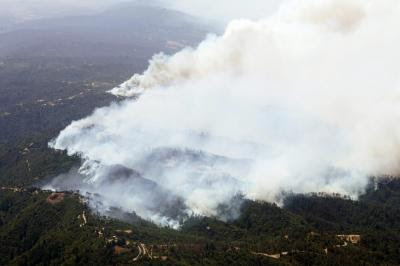
The Summit fire started early Thursday morning about 12 miles south of San Jose, California and over the course of the day grew to 3,000 acres in the Santa Cruz Mountains. By 5 PM local time on Thursday at least 10 structures had burned and 350 residents had been forced to evacuate with another 1,400 asked to leave their homes voluntarily. Heavy brush and timber along with winds gusting up to 50 mph were complicating firefighting efforts.

There was a report that it has the potential to grow to 10,000 acres. The cause is under investigation but a local resident said that she had seen someone burning debris piles recently near where the fire started and last week the piles were still smoldering.
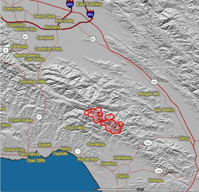
The map below of the Summit fire shows heat in red as detected by satellites on Thursday.
 Google
 has some interesting maps and photos of the fire.
Photo courtesy of Mercury News.

 Google has some interesting maps and photos of the fire.


No comments:
Post a Comment