Investigators traced the direction of spread indicators back to the point of origin which turned out to be a location where someone had been clearing vegetation.
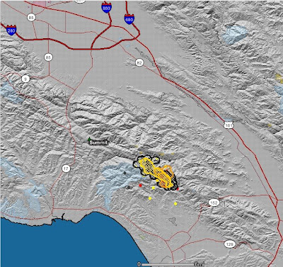
Click on the below map of the Summit fire to see a larger version. This map shows heat detected by satellites. The fire perimeter, as uploaded from the incident management team, is hard to see, but it is in yellow cross-hatching--it may not be very current.

Below is a map from Google uploaded by CalFire that has a little more detail. The perimeter was produced from infrared imagery at 1700 hours on May 23. This is a new application, to me anyway, and it is a little buggy. It takes a while to load and refresh. But I applaud CalFire for providing this service.


No comments:
Post a Comment