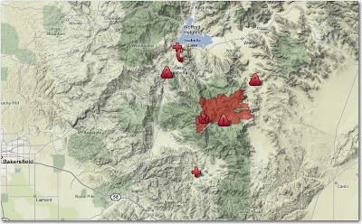
The incident has ordered additional engines for structure protection and recommended evacuation for residents along a section of County Road 483. The last reported size of the fire was 25,722 acres and was 26% contained, but this may have been before or after the major blowup this afternoon. The Kern County FD has more information HERE.
The map below, according to Kern County, was current as of 5:00 p.m. today, but it does not appear to show any major increase in acreage on the west or north sides that would be consistent with the smoke seen on the satellite views. Click on it to see a larger version.


No comments:
Post a Comment