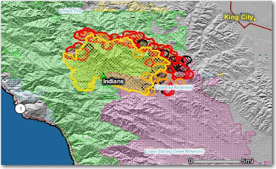
Some of the heat could be from burnout operations, but as we reported previously, additional structures were lost yesterday as a result of strong north winds which caused extreme fire behavior on the southeast side. The size is now reported to be 41,689 acres. For "Projected Movement", the team says:
Primary spread of the fire will continue to the south and southeast.


No comments:
Post a Comment